Every angle your project needs, from the air.
Five core services, each built around the way commercial construction teams actually report progress — scoped to your schedule and delivered fast.
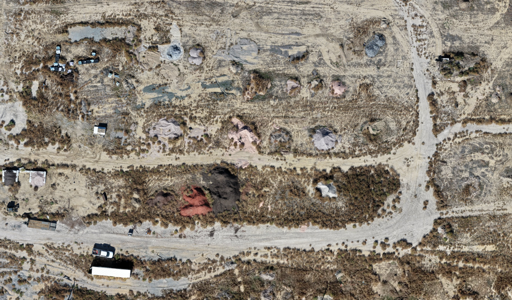
Site Mapping & Orthomosaics
We fly a structured grid pattern to capture overlapping imagery, then process it into a single georeferenced orthomosaic — a detailed, up-to-date map of the entire site.
- Structured grid flights with overlapping imagery
- Useful for site planning, logistics, and visual documentation
- For planning and reference — not a land survey or survey-grade map
Construction Progress Monitoring
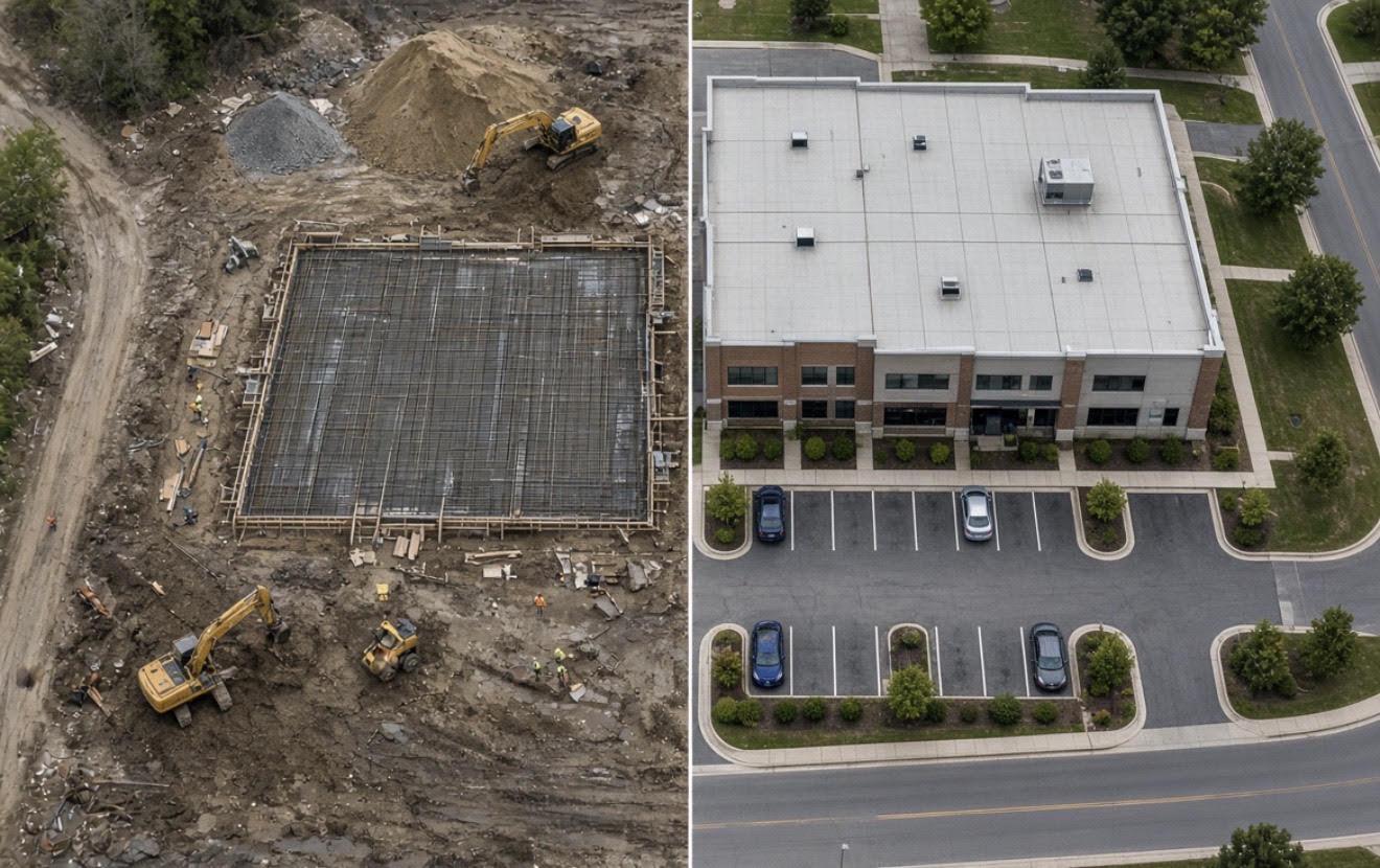
Weekly, bi-weekly, or milestone-based flights document every phase of the job from a consistent vantage point — giving GCs, owners, and lenders an objective, dated record of progress without a single boot on site.
- Recurring flight schedule matched to your project timeline
- Consistent capture points for side-by-side before/after comparison
- Delivered as shareable online maps and 3D models
3D Modeling
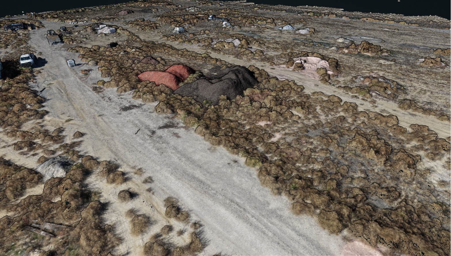
Aerial imagery is processed into textured 3D models and point clouds you can rotate, measure, and section — useful for design coordination, marketing visualization, and as-built comparison.
- Textured mesh and point cloud deliverables
- Great for stakeholder walkthroughs without a site visit
Aerial Photography & Video
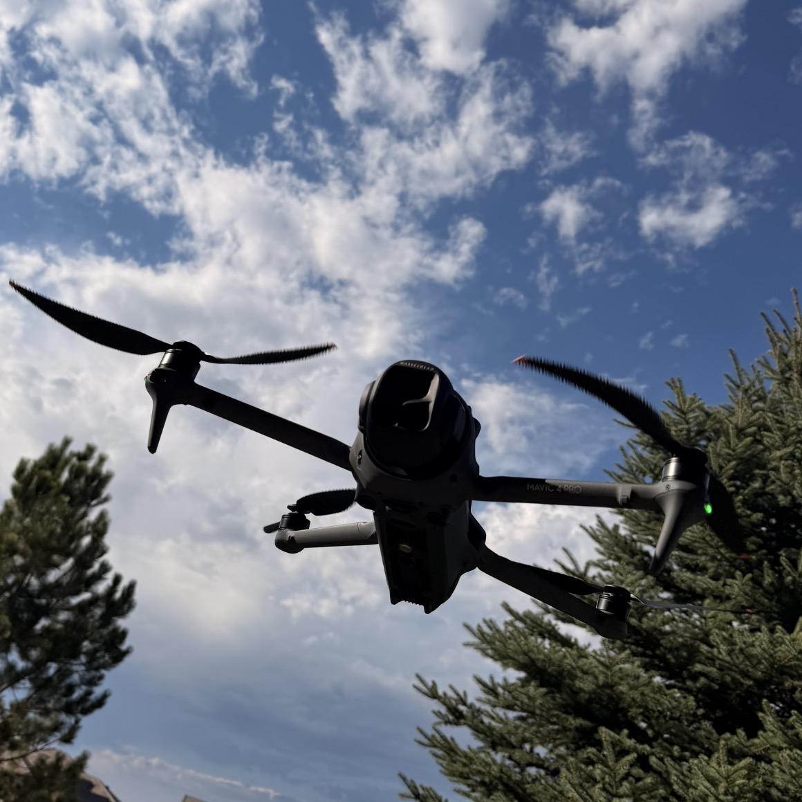
High-resolution photography and smooth, stabilized video captured by FAA-certified pilots — built for marketing decks, leasing brochures, groundbreaking announcements, and investor reporting.
- 4K/6K video with stabilized cinematic movement
- High-resolution stills, color-graded and delivered fast
- Golden-hour and custom-scheduled shoots available
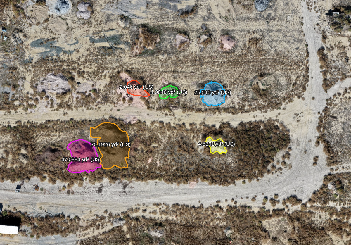
Volumetric / Stockpile Measurement
We calculate volume estimates for earthwork, stockpiles, and cut/fill tracking — delivered as a straightforward report so your team can track quantities and progress against plan.
- Stockpile and cut/fill volume reports
- Track material movement over time
- Estimates for tracking — not a land survey or survey-grade measurement
- Faster and safer than measuring stockpiles on foot
Not sure which service fits your project?
Most projects combine two or three services into one flight schedule. Tell us about your build and we'll recommend a plan.