
Colorado · FAA Part 107 Certified Pilots
Aerial Intelligencefor Every Stageof the Build
Drone data for commercial general contractors, developers, and owners across Colorado — scheduled progress monitoring, mapping, orthomosaics, and 3D models, flown by FAA Part 107 certified pilots.
A complete aerial data layer for your build.
We fly commercial construction sites across Colorado on a recurring schedule, turning raw altitude into photos, video, maps, and models your whole project team can rely on — without adding coordination work to your day.
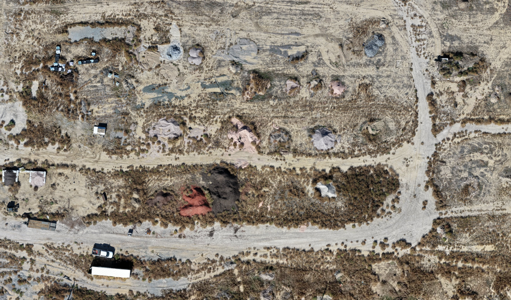
- Mapping & Orthomosaics
- Detailed, georeferenced site maps.
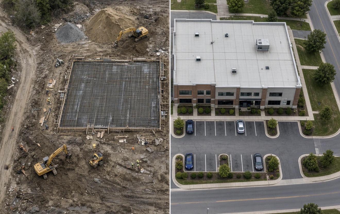
- Progress Monitoring
- Recurring flights that document every phase of the build.
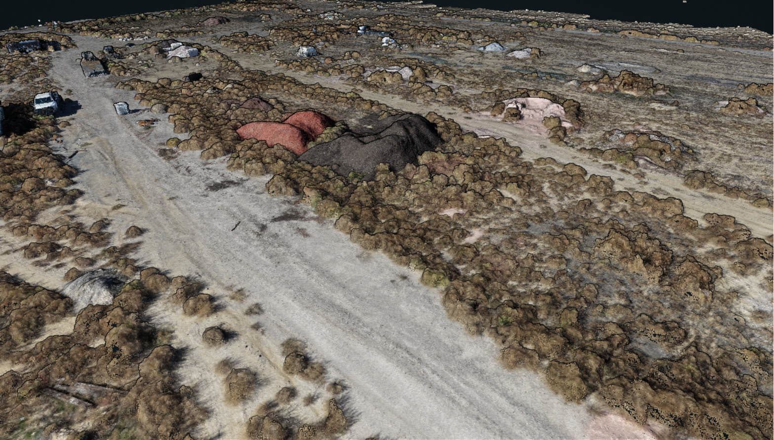
- 3D Models
- Photorealistic meshes for design and marketing.
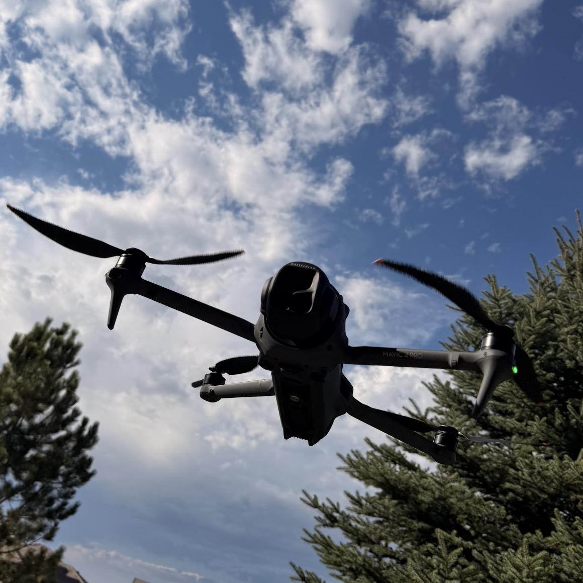
- Aerial Photography & Video
- Cinematic stills and video for marketing and investor updates.
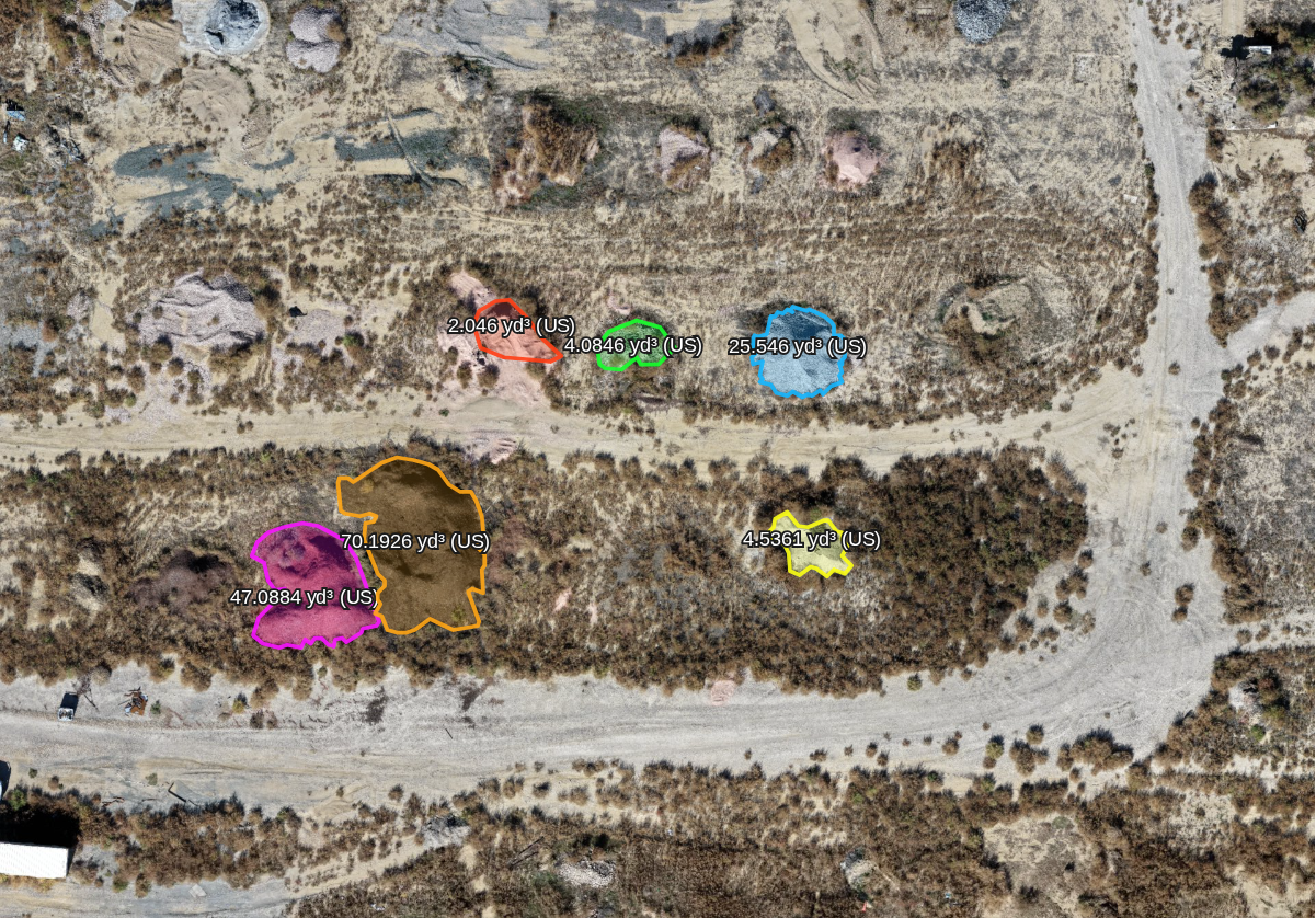
- Volumetric Data
- Stockpile and earthwork volume estimates.

From scope to deliverable, on autopilot.
Scope the Site
We walk the project with you (virtually or on site), define flight zones, capture points, and set a cadence that matches your build schedule.
Scheduled Flights
FAA Part 107 certified pilots fly on schedule, weather and airspace permitting — no coordination overhead on your end.
Data Capture
Every flight captures structured imagery for orthomosaics, 3D models, and video — processed through our pipeline, typically within 48 hours.
Deliverables
Photos, video, maps, and models delivered as shareable online links — labeled by flight date and ready to pass along to your team or ownership group.
Five ways to see your site from above.
How much could aerial data save you?
Set your annual construction volume to see a ballpark estimate of what a regular drone capture program is worth.
$1M
$10,000
About $833 per month
Documentation & Disputes
$4,000A dated aerial record to support change orders, claims, and pay apps.
Remote Visibility
$3,000Owners, lenders, and designers see the site without driving to it.
Schedule & Planning
$3,000Plan from current maps instead of last month's walk-through.
Estimates use DroneDeploy’s published industry average of roughly $10,000 saved per $1M of construction for teams running a regular reality-capture program (source). They are illustrative only and not a guarantee — actual savings depend on your projects, capture frequency, and how your team uses the data.
Put your job site in view, every flight.
Tell us about the project and we’ll put together a flight schedule and deliverables plan, usually within one business day.